B21, China Town Mall, Midrand

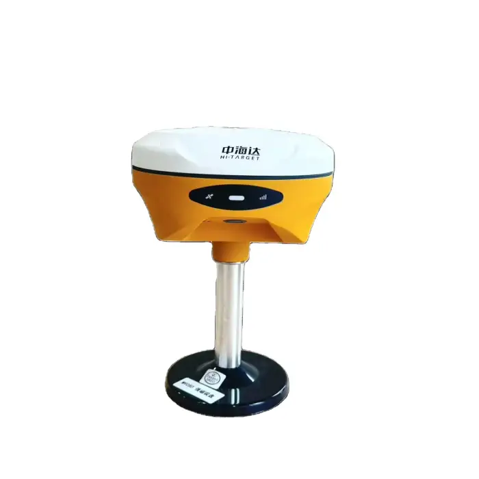
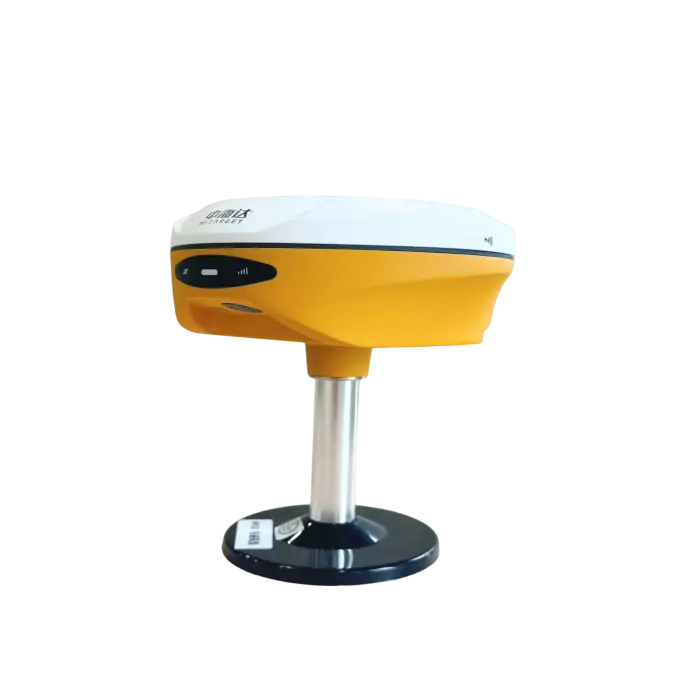
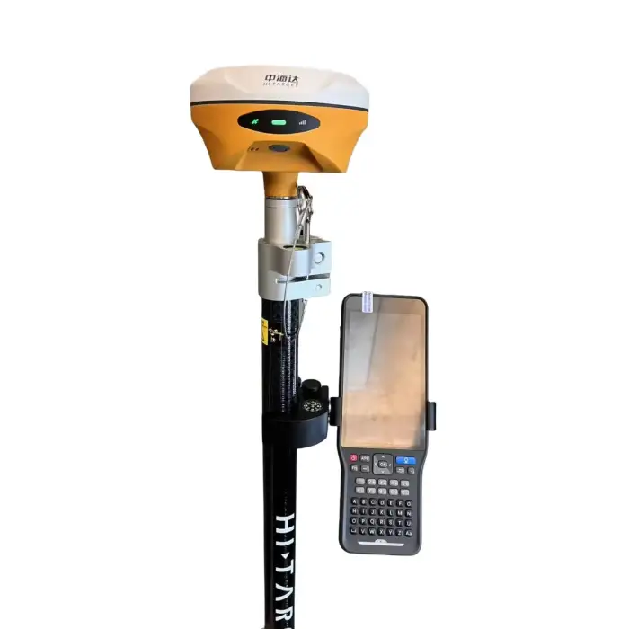
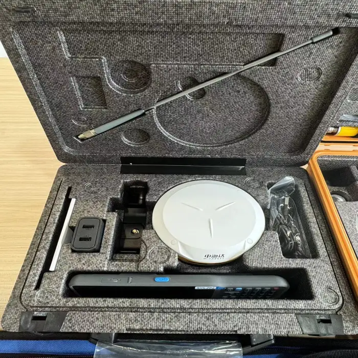
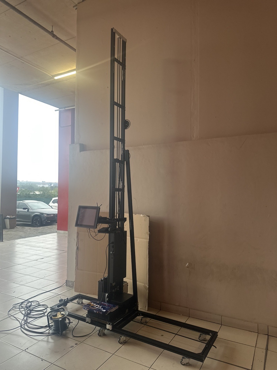
1408 Channels GNSS GPS RTK Visual Surveying Instrument

- Section : Consumer Electronics
- Category : Test Instruments
- SKU : 160125422964

1408 Channels GNSS GPS RTK Visual Surveying Instrument
The 1408 Channels GNSS GPS RTK Visual Surveying Instrument is a powerful tool for precise location tracking and surveying. It features advanced technology to deliver accurate data quickly and efficiently. Whether you are a professional surveyor or working on a construction site, this instrument is designed to meet your needs.
Specifications
| Attribute | Details |
|---|---|
| Brand Name | Hi-target |
| Model Number | V200/V300/V500 |
| Channels | 1408 Channels |
| Weight | 0.97 kg |
| Dimensions (W*H) | 132 mm x 67 mm |
| Water/Dustproof | IP67 |
| Operating Language | English |
| Frequency | 410-470 MHz |
| GPS | L1C/A/L1C*/L2P(Y)/L2C/L5 |
| Power Consumption | 4.2 W |
Key Features
- Customized support for OEM, ODM, and OBM.
- Lightweight design at only 0.97 kg.
- High precision with 1408 channels.
- Durable with an IP67 rating for water and dust resistance.
- Supports multiple GPS signals for enhanced accuracy.
Applications
- Professional surveying and mapping.
- Construction site layout and management.
- Land and property boundary determination.
- Environmental monitoring and assessment.
- Agricultural field mapping and analysis.
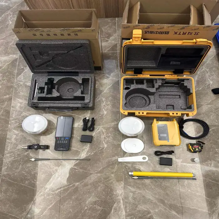
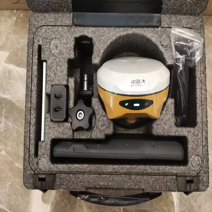
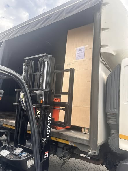
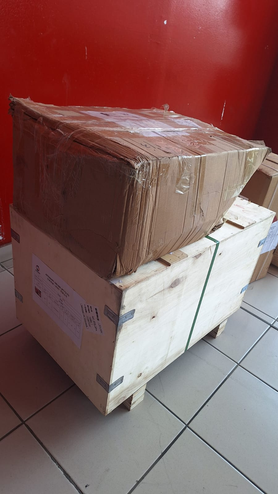
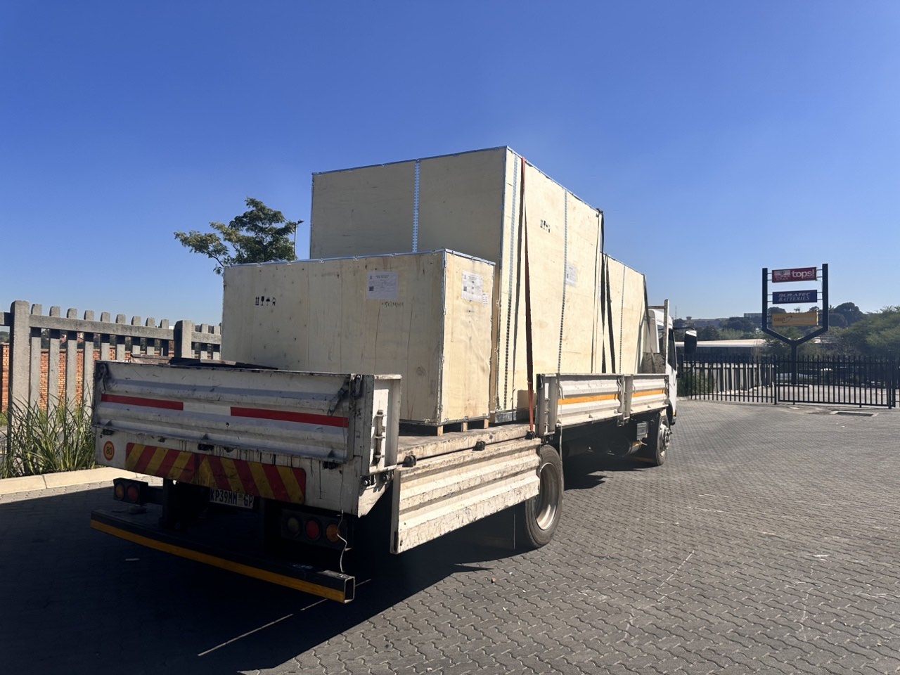
Product Info Gallery
- Shipping Timeframes: All orders are processed within 2-5 business days (excluding weekends and holidays). After your order has been processed, the estimated delivery time is before 26 Jun, 2026, depending on customs, Please note that due to high demand, some items may experience longer shipping times, which will be communicated at order confirmation email.
- Order Processing Time: Please allow 2-5 business days for us to process your order before it is shipped . Orders placed after 16:00 on Fridays, or during weekends and public holidays, will begin processing on the next business day. Processing times may be extended during peak seasons or sales events.
- Manufacturing Time: Some products needs manufacturing time, the manufacturing process will take approximately 10-30 business days depending on the product. This timeframe may vary depending on the complexity of the product and current demand. but this will be communicated with you during order confirmation.
- Returns and Exchanges: We offer a 30-day return policy for most items. If you are not completely satisfied with your purchase, you may return it within 30 days of receipt for a refund or exchange. Items must be unused, in their original packaging, and accompanied by proof of purchase. Return shipping costs are the responsibility of the customer, unless the item was damaged or defective upon arrival.
1. What is the 1408 Channels GNSS GPS RTK Visual Surveying Instrument?
It is a Hi-Target RTK-enabled GNSS surveying instrument (models V200/V300/V500) with 1408 channels designed for precise location tracking and visual surveying tasks on construction, mapping, land management and agricultural projects.
2. What does 1408 channels mean and why does it matter?
1408 channels means the receiver can track a very large number of satellite signals and frequencies simultaneously across multiple constellations. This yields faster satellite acquisition, improved signal stability in difficult environments, and more reliable positioning.
3. Which GNSS signals and constellations does it support?
The unit supports multiple GPS signals including L1C/A, L1C*, L2P(Y), L2C and L5. Combined with the high channel count, it is able to work with multiple constellations for robust tracking (check the full datasheet for exact constellation support).
4. How does the RTK functionality work and what accuracy can I expect?
The instrument supports RTK corrections to provide high-precision real-time positioning. RTK via UHF radio (410–470 MHz) provides centimeter-level positioning under normal survey conditions; actual accuracy depends on correction source, satellite visibility and survey environment.
5. What radio/frequency does the receiver use for RTK corrections?
The built-in radio operates in the 410–470 MHz band (UHF), which can be used for base-to-rover RTK correction links.
6. Is the device rugged and suitable for field use?
Yes. The instrument is designed for field work with an IP67 rating for dust and water resistance and a lightweight build (0.97 kg), making it suitable for harsh outdoor environments and easy to carry.
7. What are the physical dimensions and weight?
The unit measures approximately 132 mm × 67 mm and weighs about 0.97 kg.
8. What is the power consumption and how is the instrument powered?
Typical power consumption is 4.2 W. Specific power source options (internal battery, external battery, charger specifications) vary by configuration—refer to the product datasheet or contact the vendor for battery capacity and charging details.
9. Does it include visual surveying (camera) capabilities?
The product name indicates visual surveying capability; camera and imaging features can vary by model or configuration. For exact camera specs and photogrammetry functions, please consult the model-specific datasheet (V200/V300/V500) or contact Hi-Target.
10. What operating languages are supported?
The device ships with English operating language. Additional language support may be available through OEM/ODM customization—ask the supplier about language options.
11. Can the instrument be integrated with third-party surveying software or data formats?
The instrument is intended for professional surveying workflows and typically supports standard GNSS/RTK data formats. For compatibility with specific third-party software (file formats, protocols like NTRIP), verify with the vendor or check the technical documentation.
12. Are OEM/ODM/OBM customizations available?
Yes. The manufacturer offers customized support for OEM, ODM and OBM, so you can request custom firmware, branding, or hardware options subject to minimum order and lead time.
13. What accessories are commonly used with this instrument?
Common accessories include survey poles, tripods, external batteries, chargers, protective cases and mounting brackets. Availability depends on the chosen package—confirm the included accessories with your supplier.
14. What warranty and technical support are provided?
Warranty terms and technical support vary by seller and region. Contact the authorized Hi-Target dealer or your point of purchase for warranty length, service options and local support channels.
15. How do I get detailed specifications, firmware updates or user manuals?
Request the full product datasheet, user manual and firmware release notes from Hi-Target or your authorized reseller. They will provide model-specific documentation for V200/V300/V500 and guidance on updates and configuration.
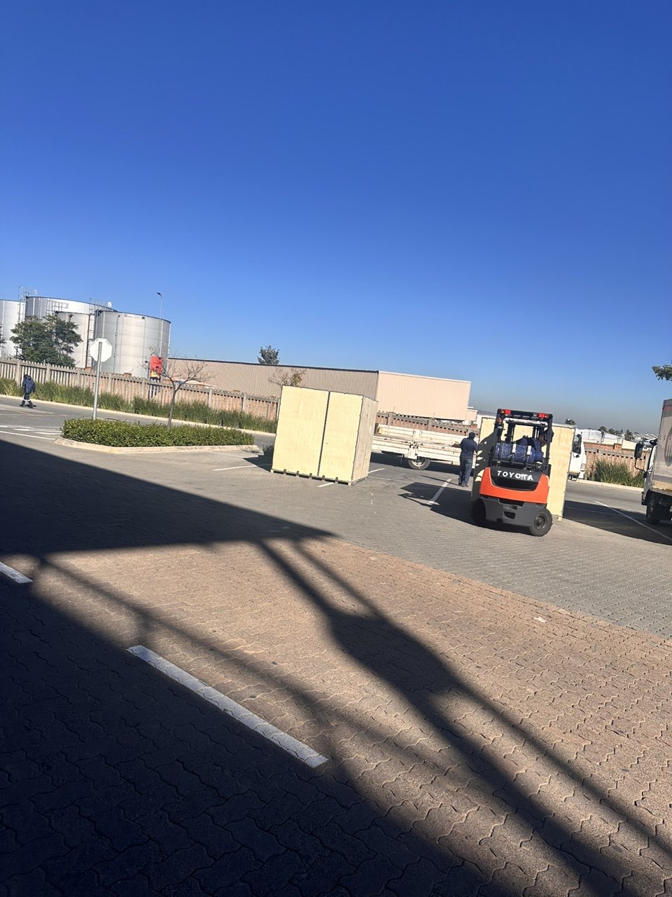
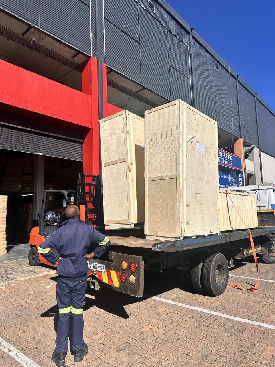
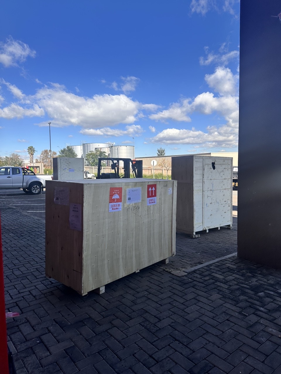
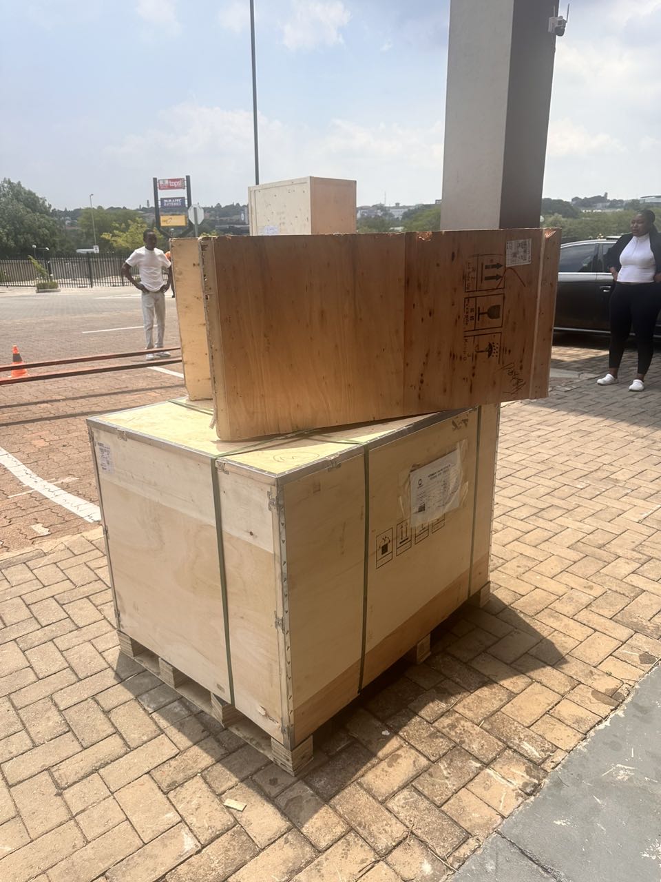
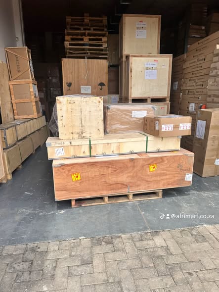
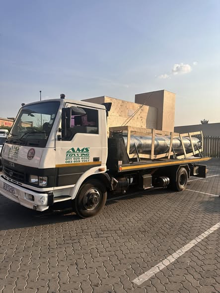
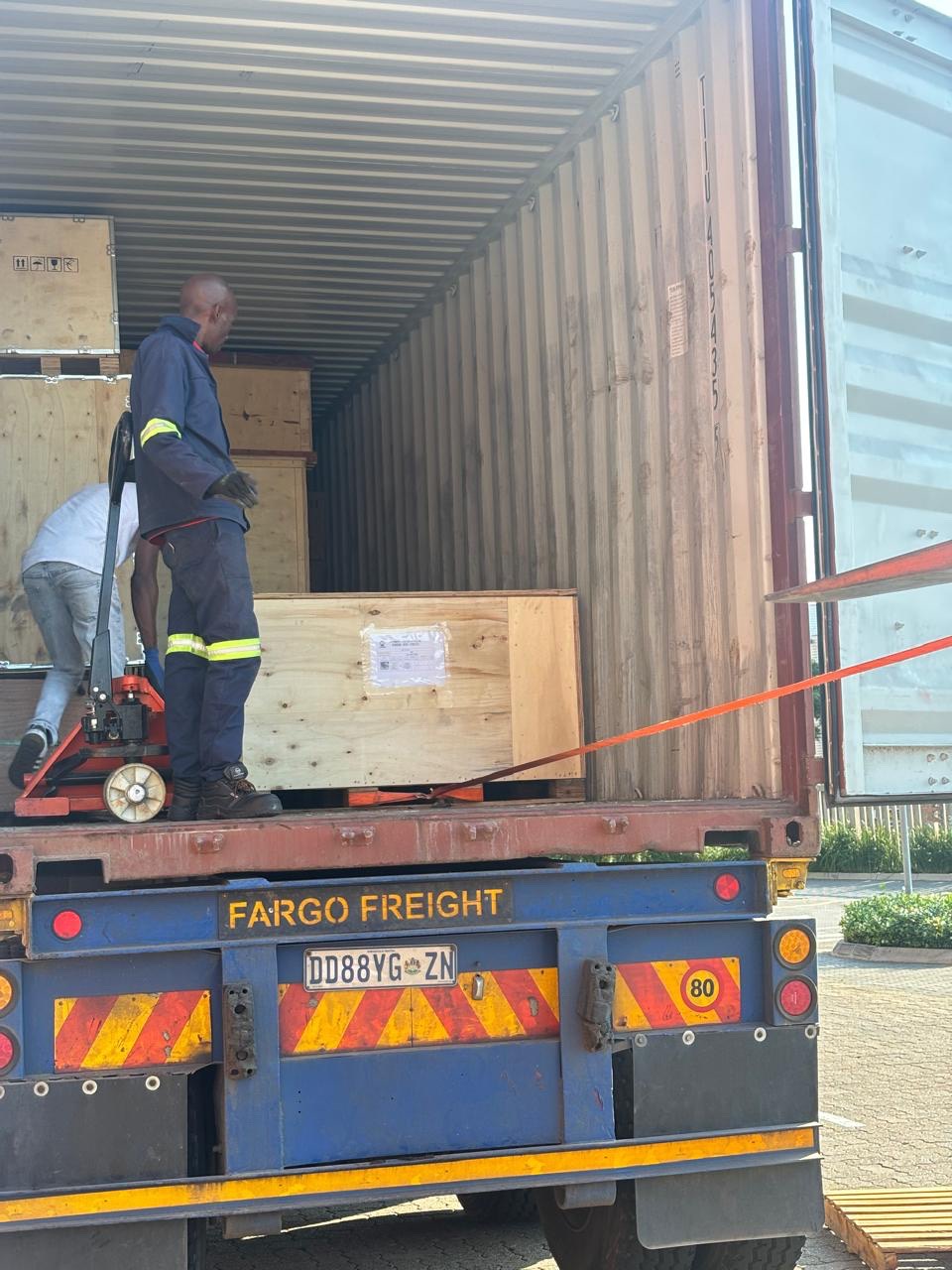
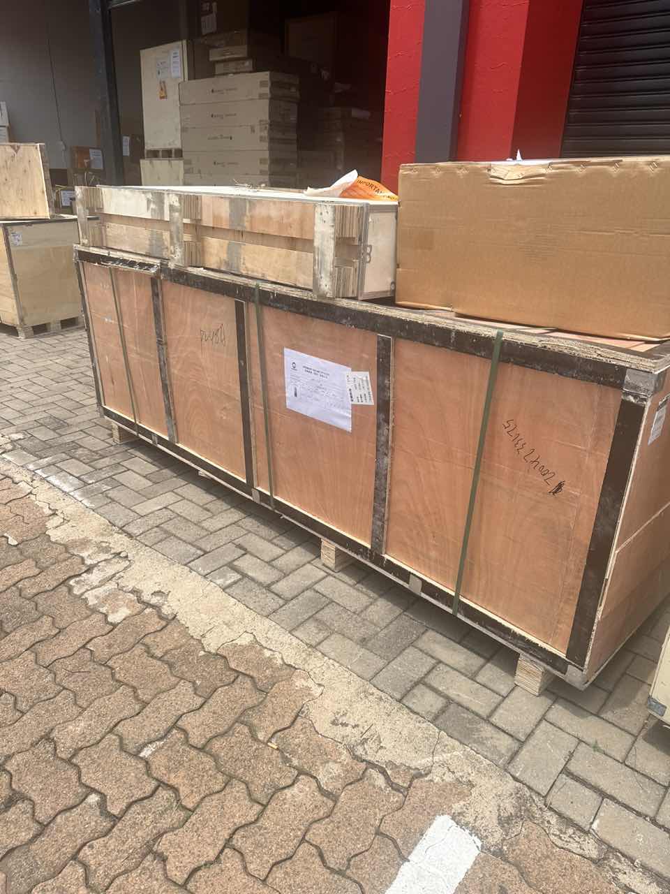
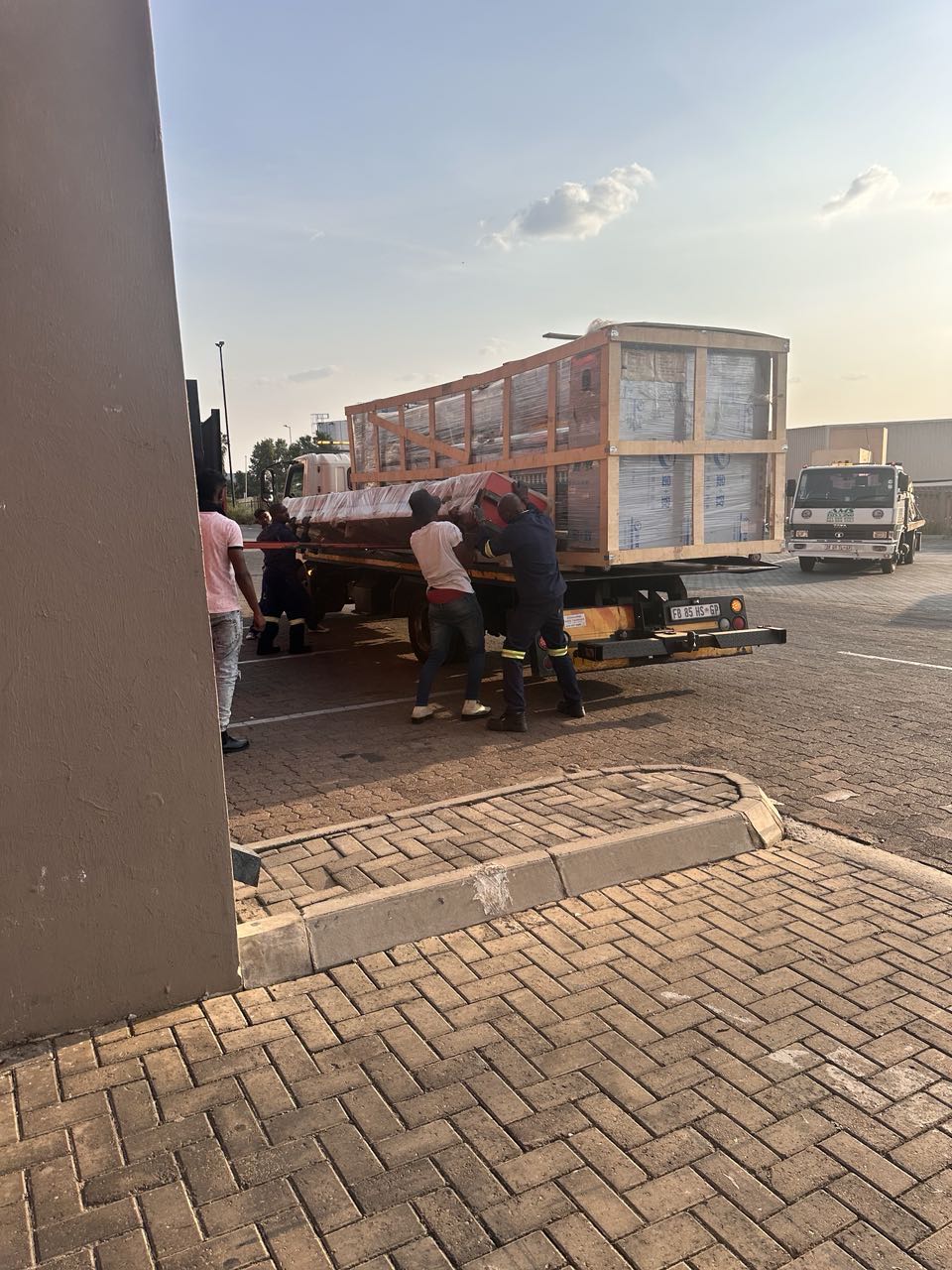
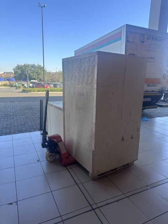
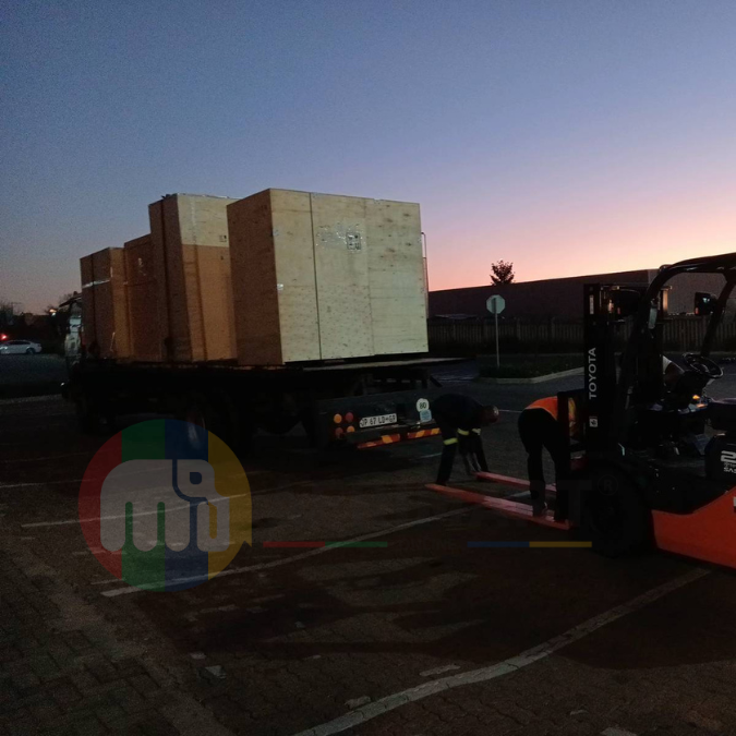
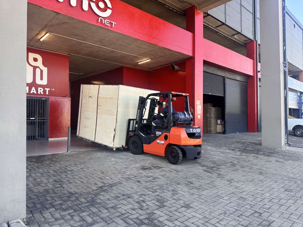
Latest Order Arrivals
Discover our latest orders

12 Heads Embroidery Machine
Toilet Paper Machine Machine

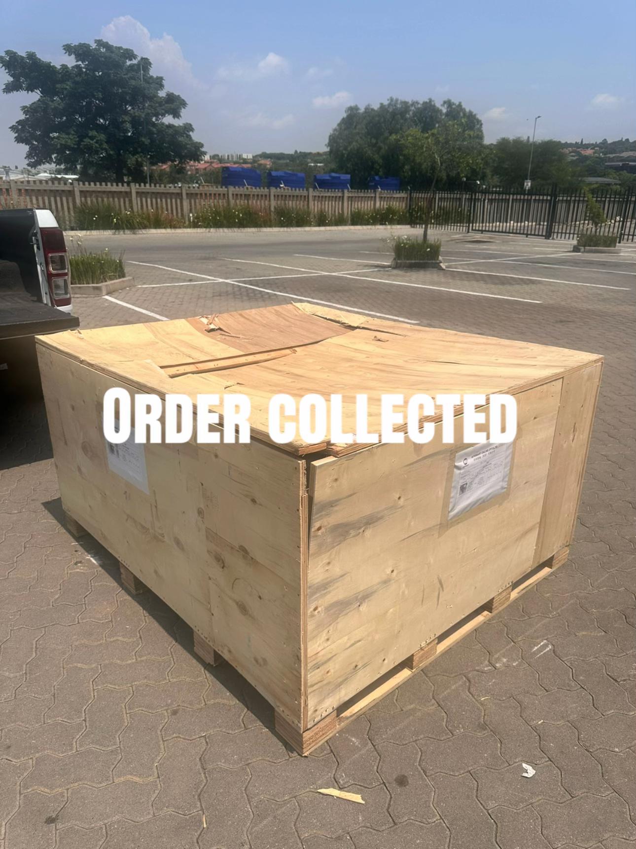
Order Collection
Cross Border Clients
Order cros border countries Collected
Industrial Machine Cllection
Agriculture Processing Machines

Ready for collection

Water Pump Equipment
Packaging Machine and accessories
Fabrics Manufacturing Equipment
Mining Equipments
Food Processing Machine
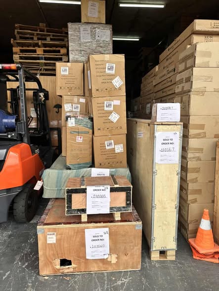
Batch of Orders
Batch of Orders
Latest Orders Labelled
wheel alignment machines
new arrivals
Pre Orders Offloading
Latest Arrivals
Latest Arrivals
Latest Arrivals
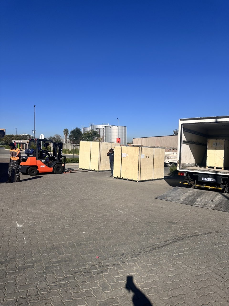
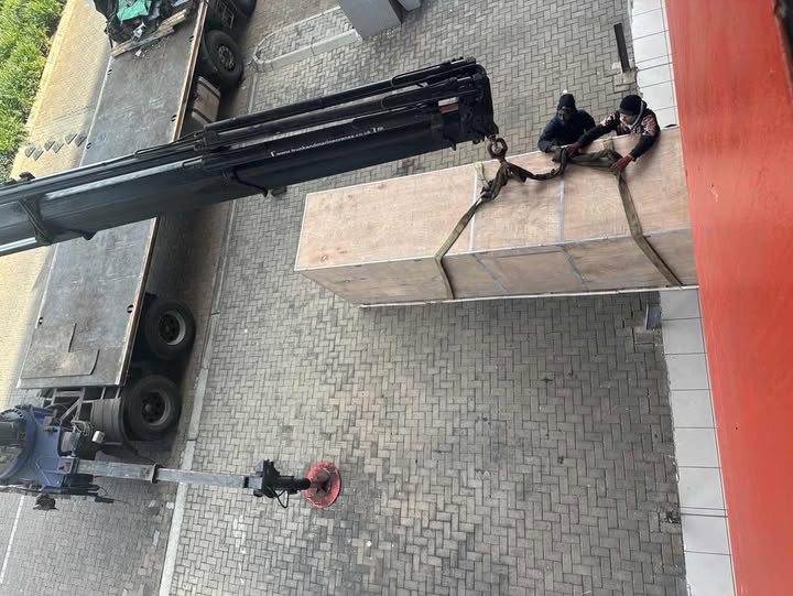
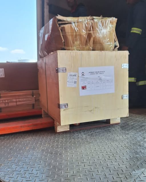
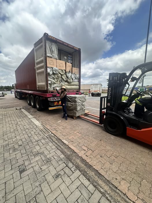
Loading
Toilet paper making machine
Toilet paper making machine
Toilet paper Rewinding Machine
latest arrivals
offloading
order success
order collection
order offloading