B21, China Town Mall, Midrand


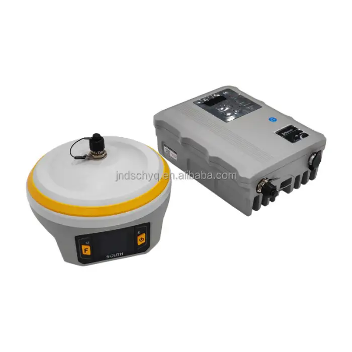
G7 INNO7 Rtk Surveying Instrument Survey Instruments South Gnss Receiver G7 IMU Gps Rtk Base and Rover
Asset finance available
Do you want funding for this equipment?
Afrimart can connect you with trusted funding partners who specialise in asset finance for businesses like yours. Compare options and apply in minutes — final approval is subject to provider review.
Check funding options
Secure & no obligation

- Section : Consumer Electronics
- Category : Testing Equipment
- SKU : 1601388139333

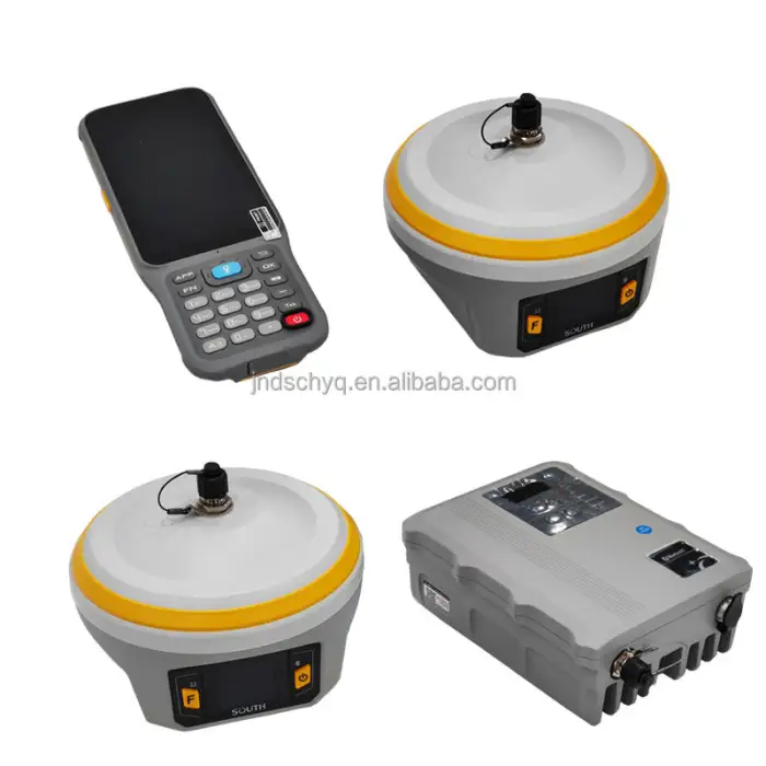
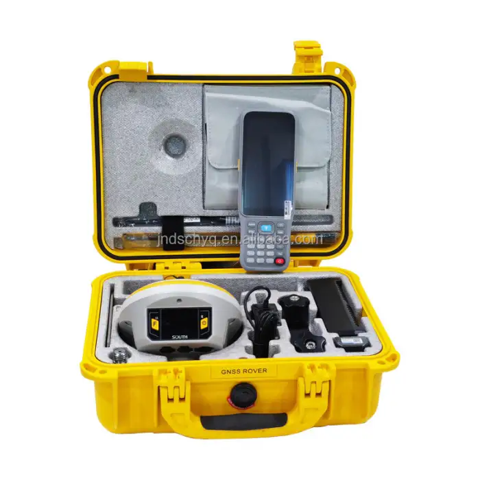
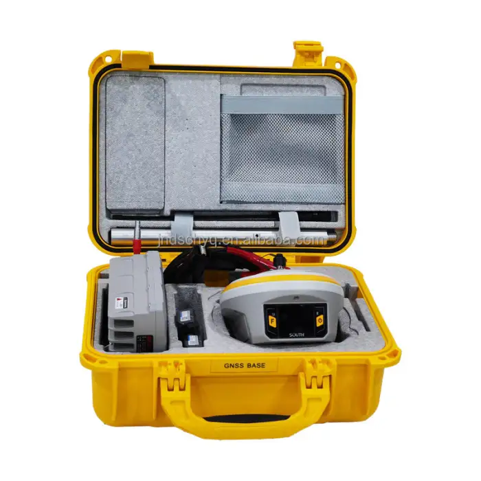
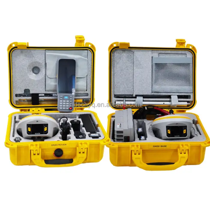
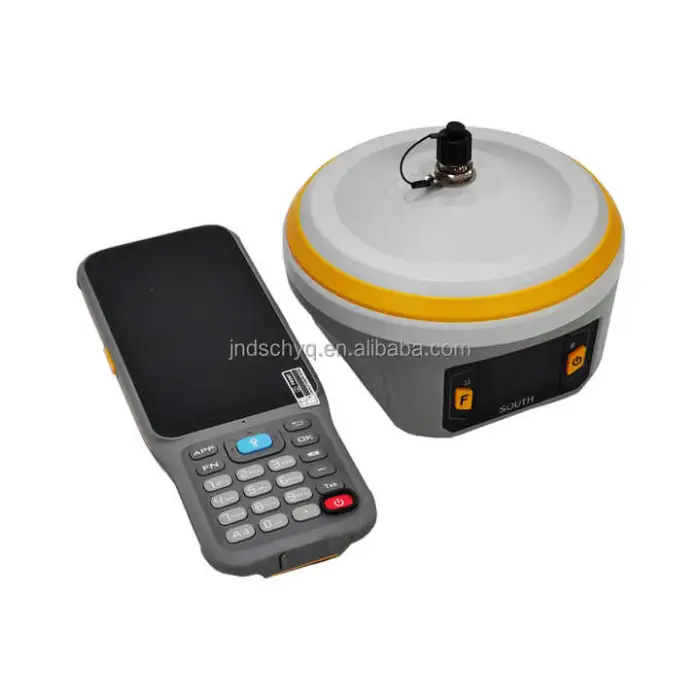
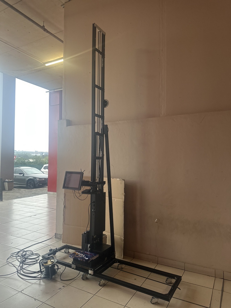
SOUTH Galaxy G7 INNO7 RTK Surveying Instrument
The SOUTH Galaxy G7 INNO7 RTK Surveying Instrument is a top-quality GNSS receiver designed for land surveying. This advanced device combines precision and reliability, making it perfect for professional surveyors. With its multiple channels and high-tech features, it ensures accurate measurements in various environments.
Specifications
| Attribute | Details |
|---|---|
| Brand Name | South |
| Channels | 1598 Channels |
| Function | GPS RTK Survey (Radio) |
| GPS | L1C/A, L2P, L2C, L5, L1C |
| BDS | BDS-2: B1I, B2I, B3I; BDS-3: B1I, B3I, B1C, B2a, B2b |
| GALILEO | E1, E5b, E5a, E5 AltBoc, E6c |
| GLONASS | G1, G2, G3 |
| QZSS | L1, L2C, L5 |
Key Features
- High precision GNSS receiver for accurate measurements.
- Supports multiple satellite systems for reliable data.
- Lightweight and portable for easy transportation.
- Fast setup and easy operation for quick surveying tasks.
- Durable design suitable for various environments.
Applications
- Land surveying for construction projects.
- Mapping and GIS data collection.
- Environmental studies and assessments.
- Infrastructure development and monitoring.
- Agricultural surveying and land management.
Product Info Gallery

- Shipping Timeframes: All orders are processed within 2-5 business days (excluding weekends and holidays). After your order has been processed, the estimated delivery time is before 04 Aug, 2026, depending on customs, Please note that due to high demand, some items may experience longer shipping times, which will be communicated at order confirmation email.
- Order Processing Time: Please allow 2-5 business days for us to process your order before it is shipped . Orders placed after 16:00 on Fridays, or during weekends and public holidays, will begin processing on the next business day. Processing times may be extended during peak seasons or sales events.
- Manufacturing Time: Some products needs manufacturing time, the manufacturing process will take approximately 10-30 business days depending on the product. This timeframe may vary depending on the complexity of the product and current demand. but this will be communicated with you during order confirmation.
- Returns and Exchanges: We offer a 30-day return policy for most items. If you are not completely satisfied with your purchase, you may return it within 30 days of receipt for a refund or exchange. Items must be unused, in their original packaging, and accompanied by proof of purchase. Return shipping costs are the responsibility of the customer, unless the item was damaged or defective upon arrival.
1. What is the primary function of the G7 INNO7 RTK Surveying Instrument?
The G7 INNO7 RTK Surveying Instrument is designed for GPS RTK surveying, providing high-precision measurements for land surveying and various applications.
2. What satellite systems does the G7 INNO7 support?
The G7 INNO7 supports multiple satellite systems including GPS, BDS, Galileo, and GLONASS, ensuring reliable data collection in various environments.
3. How many channels does the G7 INNO7 have?
The G7 INNO7 features 1598 channels, allowing for enhanced signal reception and accuracy in measurements.
4. Is the G7 INNO7 easy to transport?
Yes, the G7 INNO7 is lightweight and portable, making it easy to transport to different surveying sites.
5. What types of applications can the G7 INNO7 be used for?
The G7 INNO7 can be used for land surveying, mapping and GIS data collection, environmental studies, infrastructure development, and agricultural surveying.
6. How durable is the G7 INNO7 for outdoor use?
The G7 INNO7 has a durable design suitable for various environments, ensuring reliability even in challenging outdoor conditions.
7. What makes the G7 INNO7 a high-precision GNSS receiver?
The G7 INNO7 combines advanced technology and multiple satellite system support to deliver accurate measurements, making it a high-precision GNSS receiver.
8. How fast can I set up the G7 INNO7 for surveying tasks?
The G7 INNO7 is designed for fast setup and easy operation, allowing you to quickly begin your surveying tasks.
9. Can the G7 INNO7 be used for agricultural surveying?
Yes, the G7 INNO7 is suitable for agricultural surveying and land management, among other applications.
10. What types of environmental studies can the G7 INNO7 assist with?
The G7 INNO7 can assist with various environmental studies and assessments, providing precise data needed for analysis.
11. Does the G7 INNO7 require special training to operate?
While the G7 INNO7 is designed for easy operation, basic knowledge of GNSS technology and surveying practices will enhance its use.
12. What is the weight of the G7 INNO7?
The exact weight of the G7 INNO7 is not specified, but it is designed to be lightweight for portability.
13. Can the G7 INNO7 be used in urban environments?
Yes, the G7 INNO7's advanced features and multiple satellite support make it effective in urban environments where signal interference may occur.
14. Is there technical support available for the G7 INNO7?
Yes, technical support is typically available through the manufacturer or authorized dealers to assist with any inquiries or issues.
15. What is the warranty period for the G7 INNO7?
The warranty period for the G7 INNO7 may vary by retailer, so it's best to check with the seller for specific warranty details.
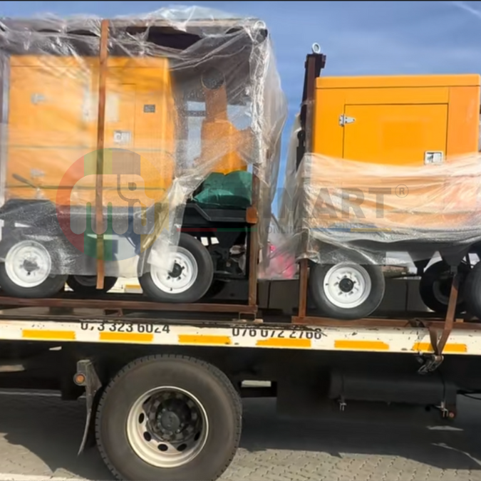
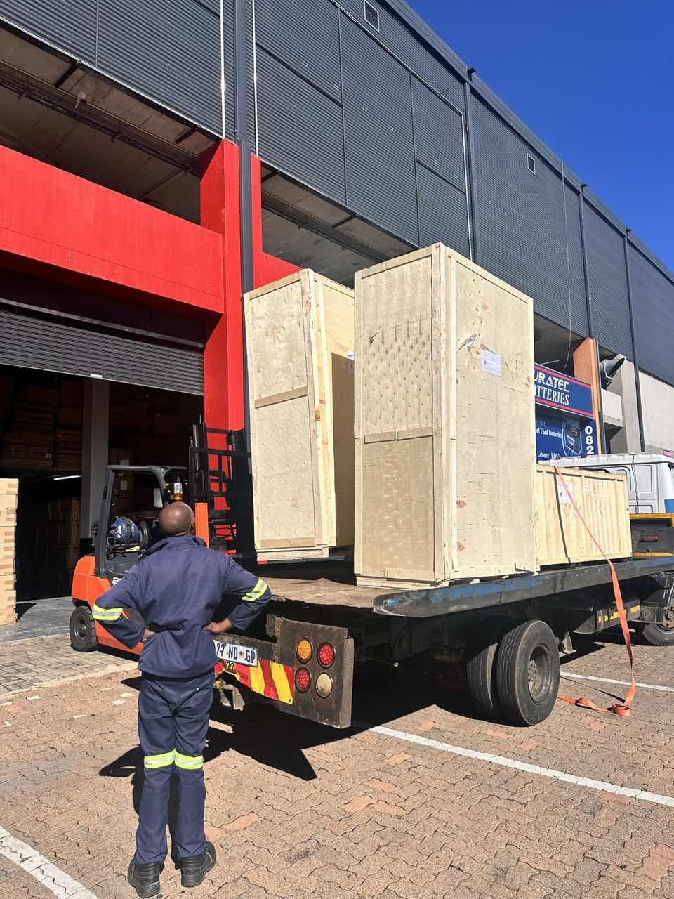
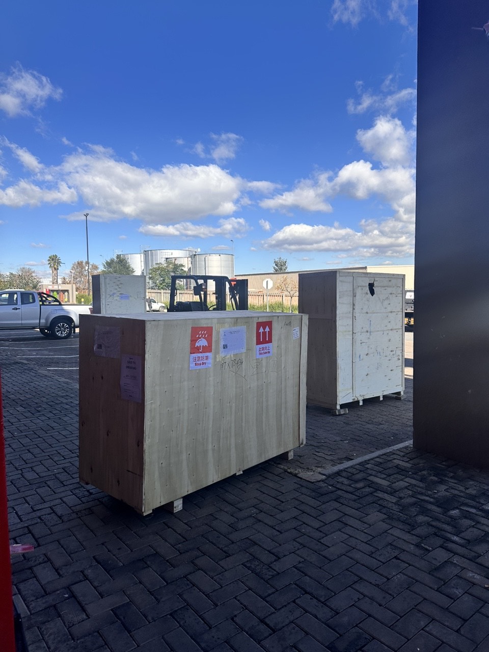
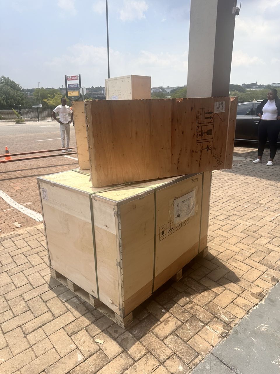
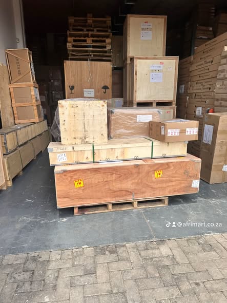
Latest Order Arrivals
Discover our latest orders

12 Heads Embroidery Machine
Toilet Paper Machine Machine

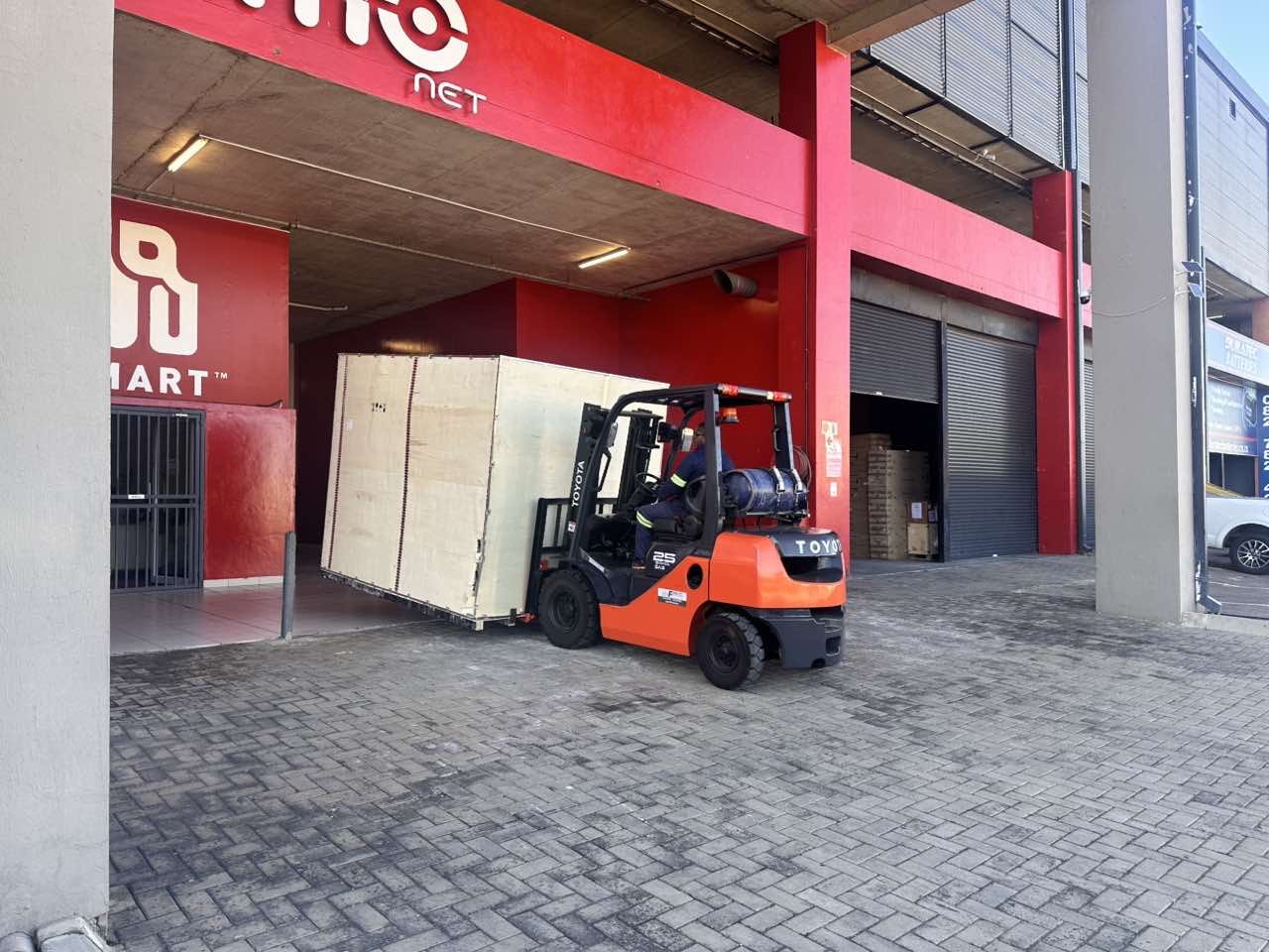
Order Collection
Cross Border Clients
Order cros border countries Collected

Industrial Machine Cllection
Agriculture Processing Machines

Ready for collection

Water Pump Equipment
Packaging Machine and accessories
Fabrics Manufacturing Equipment
Mining Equipments
Food Processing Machine
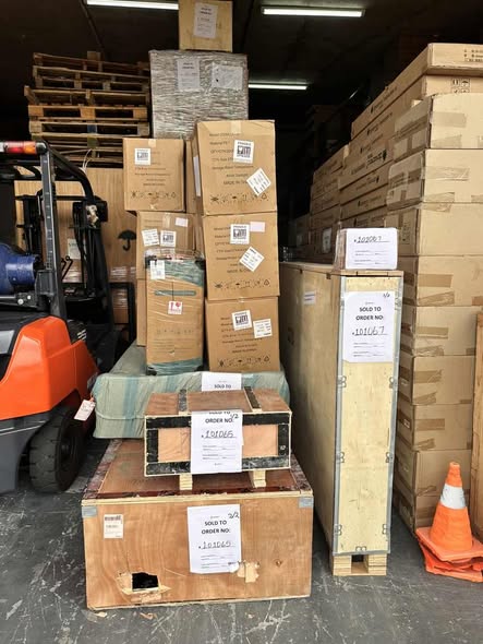
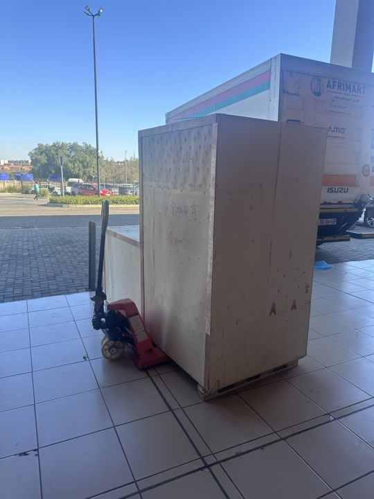
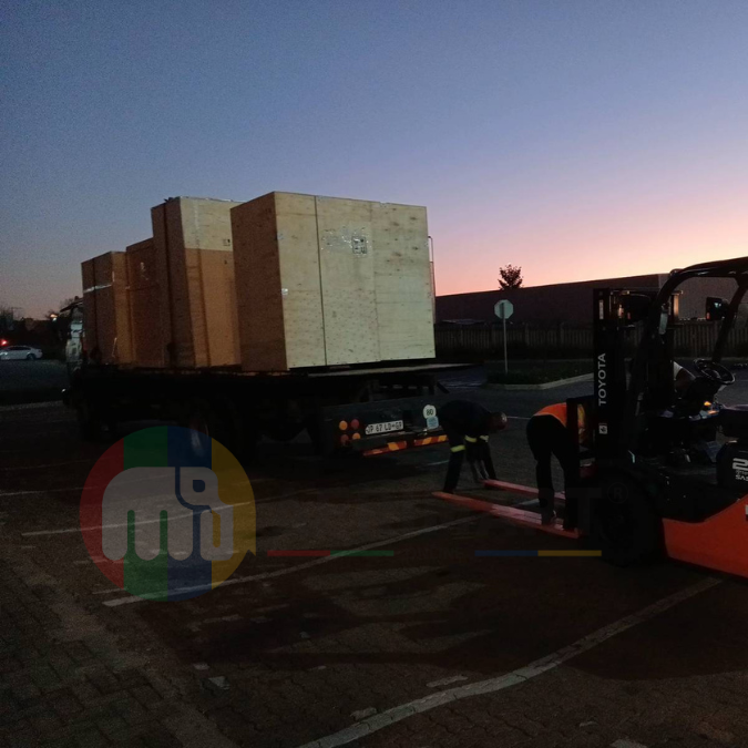
Batch of Orders
Batch of Orders
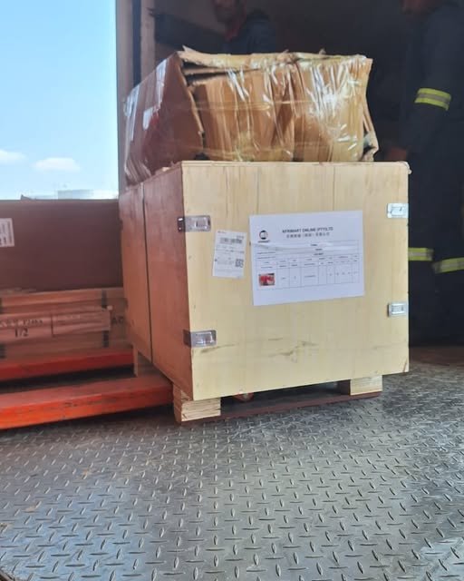
Latest Orders Labelled
wheel alignment machines
new arrivals
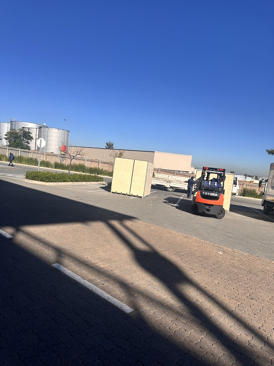
Pre Orders Offloading
Latest Arrivals
Latest Arrivals
Latest Arrivals
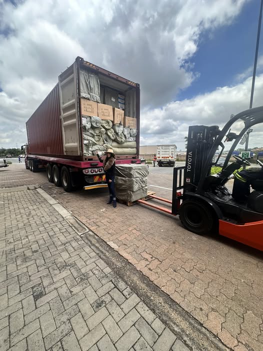
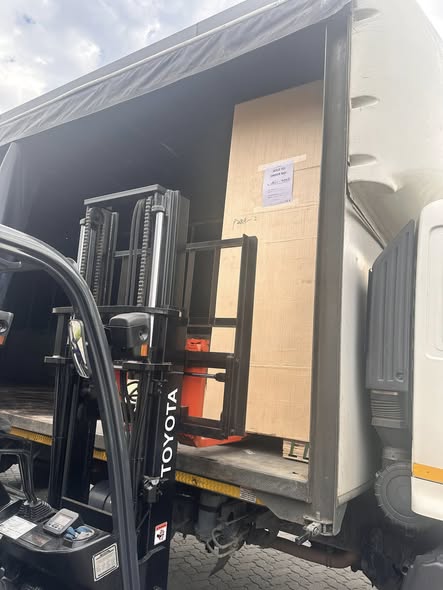
Loading
Toilet paper making machine
Toilet paper making machine
Toilet paper Rewinding Machine
latest arrivals
offloading
order success
order collection
order offloading